[Gimp-user] transform questions
- From: rich404 <forums gimpusers com>
- To: gimp-user-list gnome org
- Cc: notifications gimpusers com
- Subject: [Gimp-user] transform questions
- Date: Sat, 04 May 2019 12:44:35 +0200
I have an airphoto image and a trail map image, and wish to overlay
them so the trails show appropriately on the airphoto.  Have set up
layer for each, and have to move, rotate, scale, the trail image
hoping to line things up.  It requires multiple tweaking (each
affecting another), and the result is not very satisfactory.  Is there
a better way?  Ideally pick similar locations on each layer image (say
road intersections or geographic feature) and the program will scale,
rotate, etc the layer as appropriate to get them aligned ?
There are Gimp plugins that will align two layers but only between two points.
There is a plugin here:
http://sourceforge.net/projects/gimp-tools/files/scripts/ ofn-layer-aligner
about 30 down the list ofn-
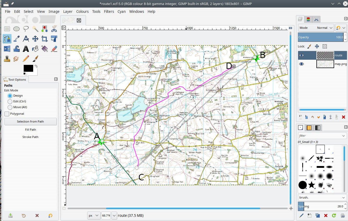
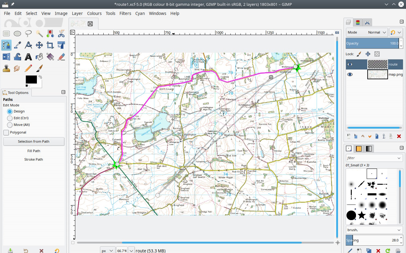
In the very-much simplified example: A four point path A-B-C-D defining the
start and finish of intended and actual, scales and rotates to suit. Very much
depends on the images, different map projection and camera angle and it might
be easier to draw in by hand.
A non-gimp solution might be Hugin which has a stack alignment option. Not easy
to use and I have not had much success unless the images are very similar.
Attachments:
* https://www.gimpusers.com/system/attachments/1163/original/route01.jpg
* https://www.gimpusers.com/system/attachments/1164/original/route02.jpg
--
rich404 (via www.gimpusers.com/forums)
[
Date Prev][
Date Next] [
Thread Prev][
Thread Next]
[
Thread Index]
[
Date Index]
[
Author Index]
